
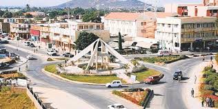
I always loved the sound of the name Dodoma, the capital of Tanzania: the way it rolls off your tongue like a dearly beloved, like something or someone so sweet and precious… DO-DO-MA, almost like musical notes! So what do you think Dodoma means?
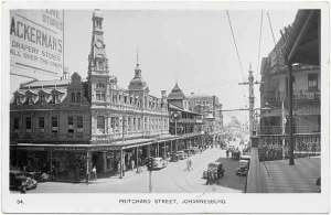
Well, the name Dodoma is derived from Idodomya, a word in the Chigogo (Gogo) language, which means, “it has sunk.” Tradition says that, an elephant once came to drink at a nearby creek, and got stuck in the mud, and gradually sank. It was then that the villagers exclaimed in amazement, “idodomya!” And from that moment, the place was known as Idodomya, the place where the elephant “has sunk.” It later became Dodoma in 1907 when the Germans colonists, who were probably struggling to pronounce Idodomya, came for the construction of the Tanzanian central railway. The layout followed the typical colonial planning of the time with a European quarter segregated from a native village (European-Only Neighborhoods in African Cities before Independence).

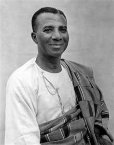
In 1967, following independence, the Tanzanian government made plans to reorganize its then capital Dar es Salaam, which was undergoing rapid urbanization and population growth. In 1974, after a nationwide party referendum, the capital was moved from Dar es Salaam to a more central location to create significant social and economic improvements for the central region and to centralize the capital within the country. With an already-established town at a major crossroads, the Dodoma region had an agreeable climate, room for development and was located in the geographic centre of the nation. Its location in a rural environment was seen as the ujamaa (family-hood) heartland. The ujamaa concept was a concept championed by the first president of Tanzania Julius Nyerere as part of his social and economic development policies: it was to serve as the basis for an African model of development, or African socialism.

However, over the past 40 years, much of the initial design, and intents never came to fruition, and to this day many government offices and embassies have remained in Dar es Salaam, which remains the economic and the de facto capital of Tanzania.
The story of Dodoma and Dar es Salaam is similar to that of Abuja and Lagos in Nigeria, of Brasília and Rio de Janeiro in Brazil, and even Washington, D.C. and New York City in the United States, to name just a few. In many of these cities, there is always an economic capital which is the lung of the country, which dwarfs the political capital in size and energy. Nonetheless these political capitals are still special and unique.
Well, if you ever visit Dodoma, remember that elephant who sank there, try and visit them in all the national parks of the country, but most importantly remember to take with you the ujamaa spirit!


 Un vieux balai nettoie mieux qu’un nouveau
